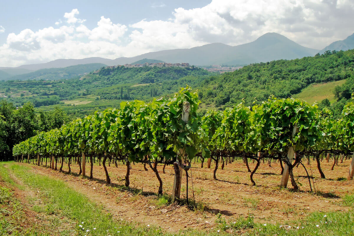
Precision Viticulture Using Multiple Sensors and Aerial Robotics
The proposal entails the development of an integrated technological platform for recording agronomic parameters of viticulture in a mapped, geoinformation-based, and chronologically organized format. Data acquisition will be carried out using a multitude of ground-based and aerial sensors, with the data stored in a database structured as a Geographic Information System (GIS).
Total Budget €400,000
"Central Macedonia 2021–2027" Program